A checkpoint and a grassy cloak
Let's begin with an excursion to Arden railway station.
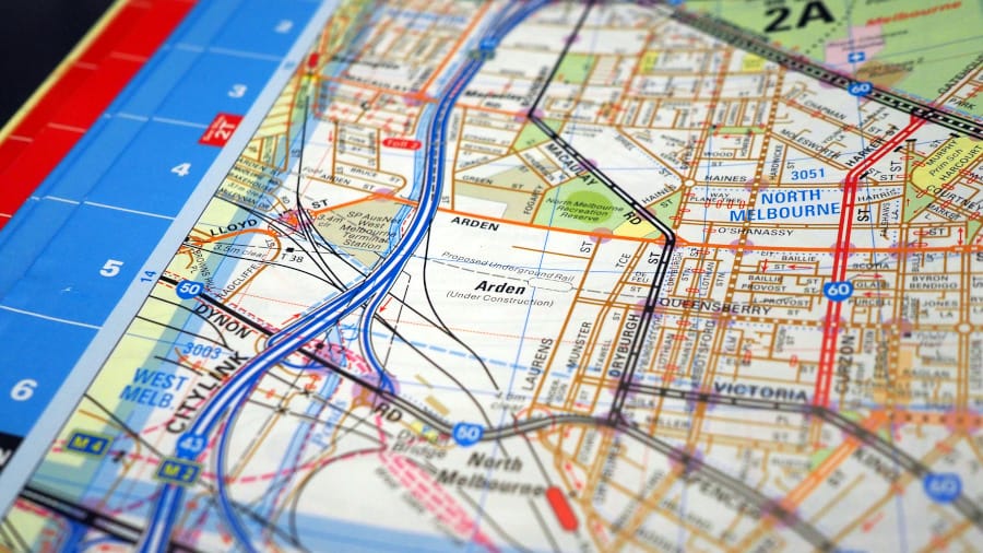
I visited Arden with a question at the front of my mind: Where is the north-eastern perimeter of the swamp? I don't believe this can be answered by simply looking at the boundaries of West Melbourne 3003 in the Melways. For a start, just look at the unnaturally straight municipal boundary line dividing North and West Melbourne, docking the southern stretch of Moonee Ponds Creek. It's weird. Plus, consider the residential and commercial streets that tack West Melbourne to the Hoddle grid. The area doesn't make sense.
Arden railway station sits like an outpost in the south-eastern corner of North Melbourne. I caught the train from the west, travelling on the new line that skirts the swamp (just like the old Werribee-Williamstown line does) before plunging into the swamp—actually down inside it—at South Kensington. Even while travelling through the underswamp, one feels external to it.
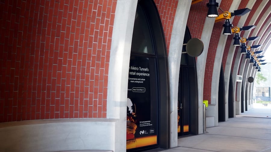
Stepping onto the platform at Arden I was surprised to see other people. Not many. I walked up the escalator to the empty concourse and up another escalator to ground level. The above-ground component of Arden railway station resembles a big Lego brick with an archway running through the middle, allowing the chip-fryer smell from future concession stands to dissipate easily. Today, however, none of the retail tenancies have yet been filled. I imagine this would be an ideal location for a swamp tour business.
Commuter prolapse can occur via either side of the archway, but is more likely to occur on the Laurens Street side, walking away from the swamp. This is what I did. Turning back around to face the station, I admired the artwork on the façade, Abdul Abdullah's Come Together comprising two hands reaching toward (or away) from each other.
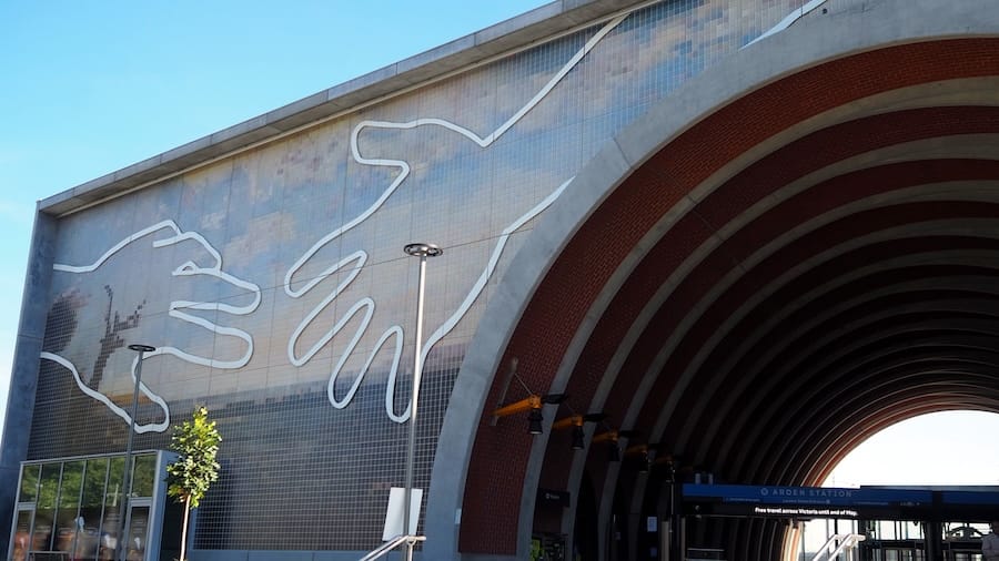
What I did not realise at the time is that the hands are superimposed over a pixellated recreation of J.S. Calder’s 1860 painting, View from Royal Park across West Melbourne Swamp. Why did I fail to notice this?
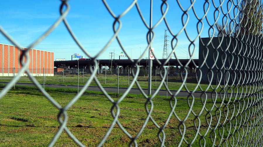
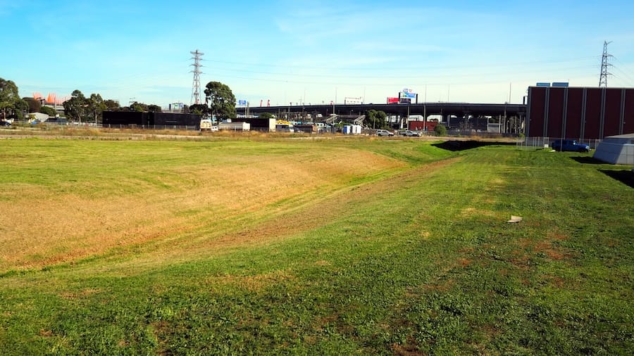
On the other side of the archway and across the small car park is a fenced-off expanse of neatly mown grass. In the distance, CityLink. A long swale is carved into the grass, stretching towards Moonee Ponds Creek and parallel to the three skylight shafts that illuminate the platform where I alit from the train. Swales, of course, are made to control the flow of water; we can confidently name this area as part of the West Melbourne Swamp.
Next, I walked south down Laurens Street. What was immediately noticeable was that this is a border. Separating the street and the swamp were hoardings and chain-link fences topped with barbed wire. Whether these are intended to keep people in or out of the swamp is unclear. However, I did note a sizeable puddle (or swamp) attracting pigeons, plus other small birds I failed to identify.
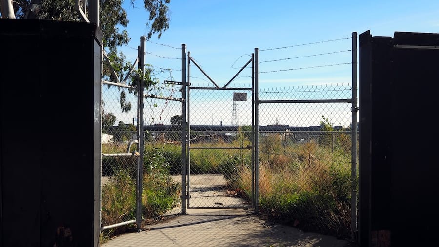
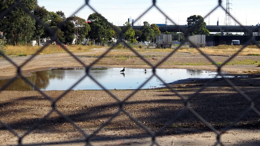
Border fencing; pigeons enjoying the swamp.
Furthermore, there was a large Eucalyptus trapped behind temporary fencing. While the old tree could not escape, the area was rife with its offspring: saplings that had escaped the immediate containment, but were still beyond the border wall. It's clearly a very active area.
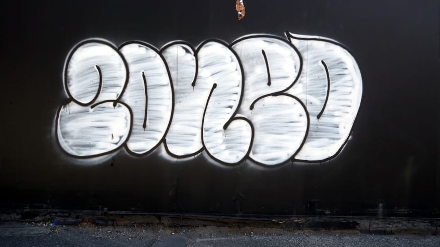
Along the hoardings I also observed that local denizens had marked the area as "ZONED". I think this definitively shows Arden to be a kind of swamp checkpoint, inside which is the swamp "zone". Let's just note for now that this is is not the first time that someone has invoked the Strugatsky brothers' Roadside Picnic and/or Andrei Tarkovsky's Stalker in naming the West Melbourne Swamp "the zone".
As I continued around, along Barwise Street, so did the border. The obvious intent is to keep the swamp, the creek, and whatever else dwells out there visually distant and at arm's length. On closer inspection, I noticed drainage grates in the grass close to the fence. This area—zone—is like a swamp in a grassy cloak. Something is under there but I don't know what (yet).